A 3D Map of Budapest using Python
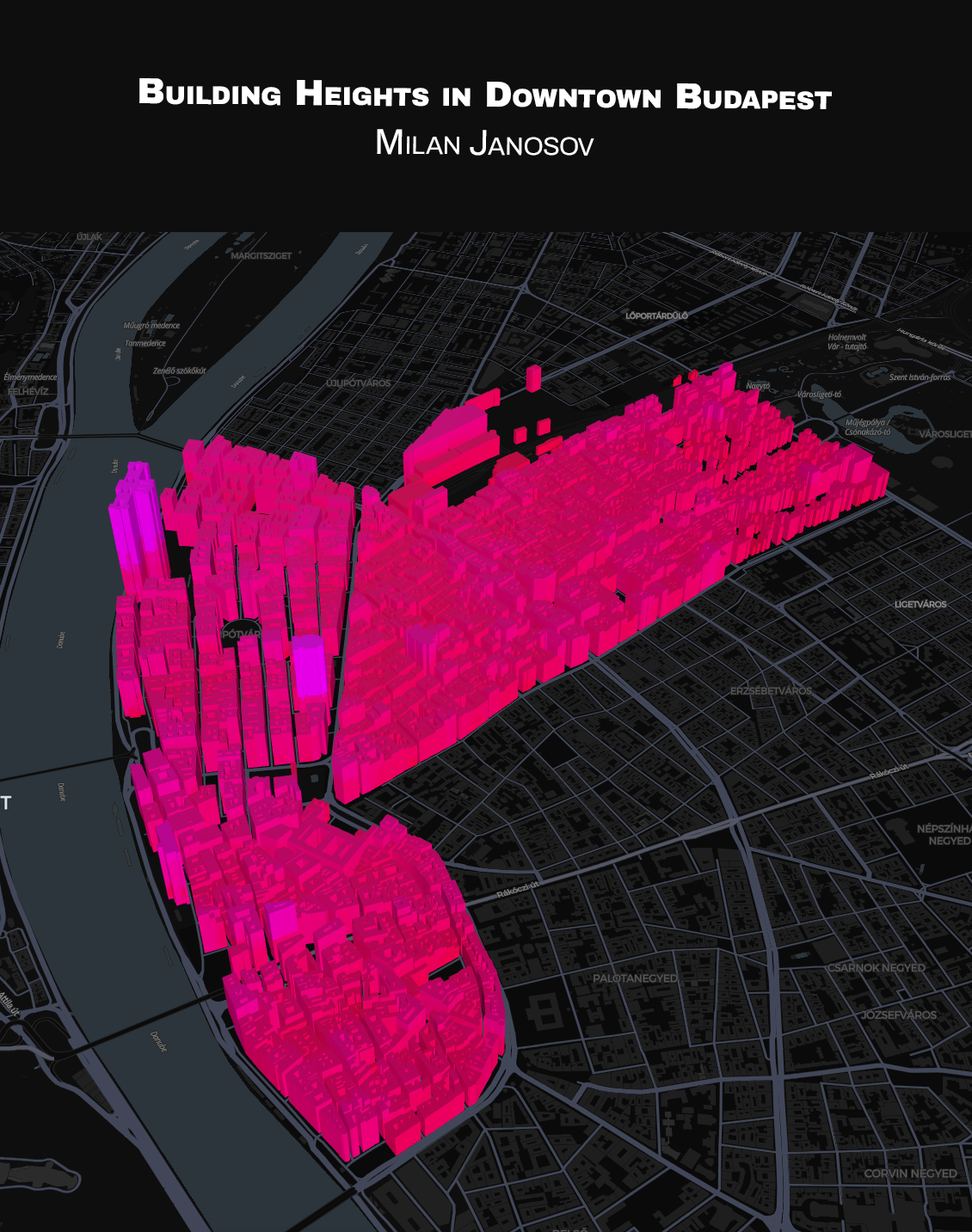
My first 3D map ever - so I kept the data relatively simple and went for downtown Budapest home, particularly District V. and District VI. in Pest and visualised its building height profile based on ATLO s Budapest Open Data Atlas.
As for the tech part, I used Python as always and finally learned the basics of Pydeck to create this piece. Enjoy the interactive version here, each building height being proportional to its actual height, which information is also encoded in the colour sharing:
https://www.janosov.com/DAY23.html
For locals - its reassuring to see the Parlament and the Basilica as the highest buildings!
𝐒𝐨𝐮𝐫𝐜𝐞𝐬: https://atlo.team/boda/ https://deckgl.readthedocs.io/en/lates