Greenery Mapping Using Satellite Images
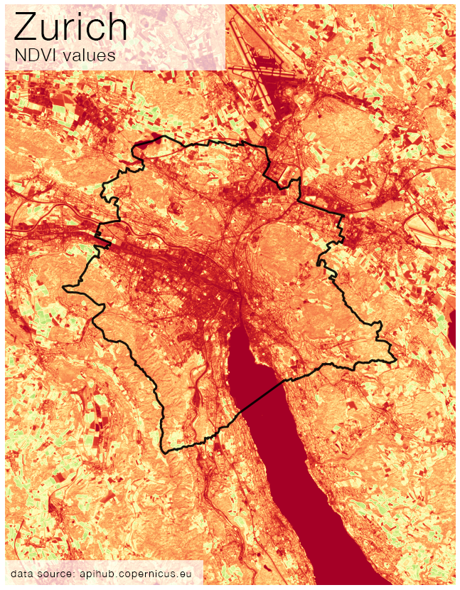
In my blog posts, I explored how to use satellite images and image processing techniques to measure the so-called NDVI, the Normalized Difference Vegetation Index, which is a geospatial metric capturing the level of vegetation. While these maps are beautiful and interesting, certainly have several real-life use-cases as well.