Joy Map of Italy
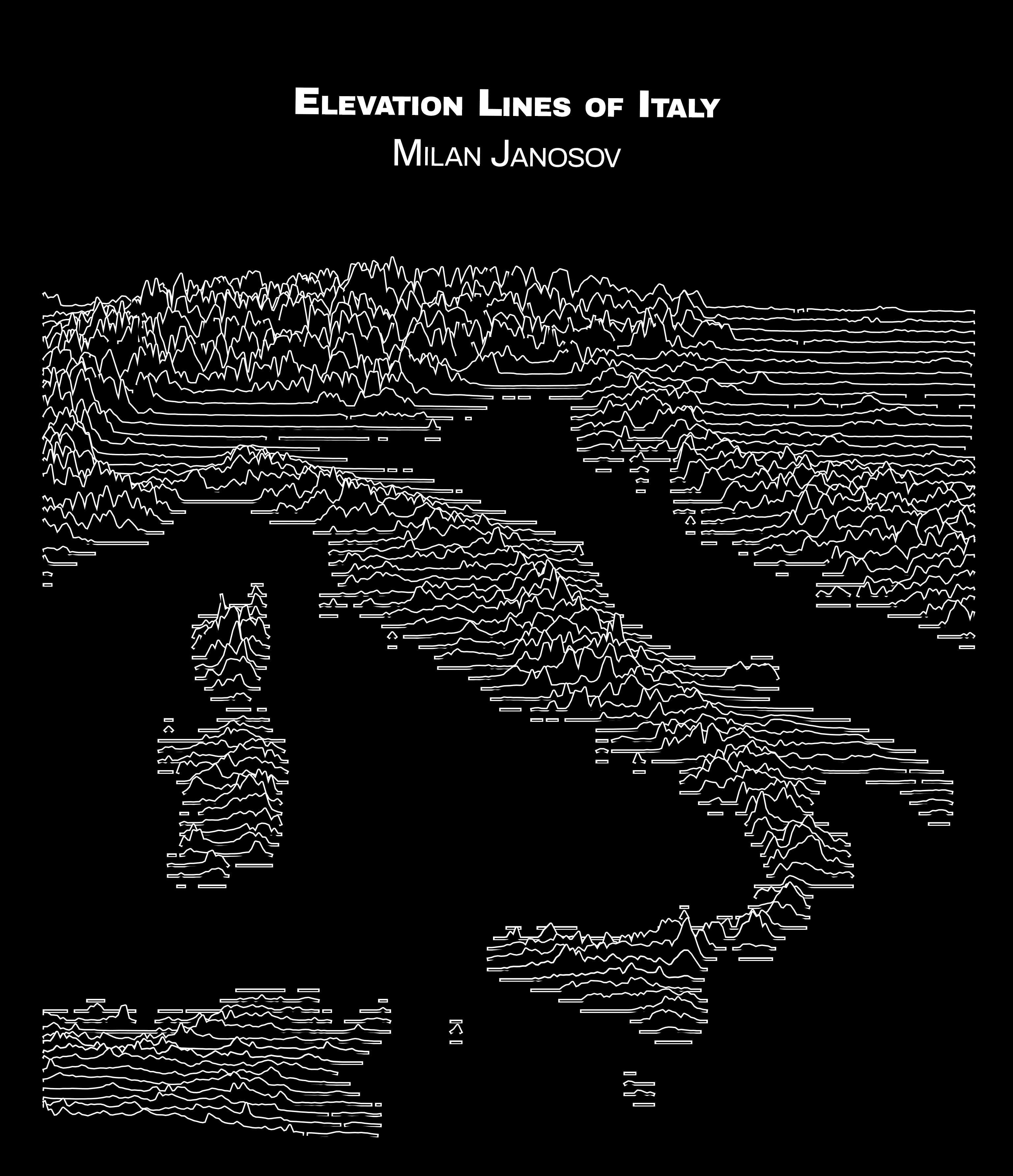
My 2023 black-and-white map shows the elevation lines of Italy in a Ridge-map layout.
I finally created my first rudge map in my black and white map following several great examples on beautiful Joy-division album-cover-styled maps. I used the Python version implemented by Colin Carroll, which you may find in the link below, with a recent pull request fixing a current bug in the package. To the technical end, the elevation data used by ridge_map comes from NASA’s Shuttle Radar Topography Mission. The only slight change I added in my notebook is that I hooked the bounding box part up to OSMNx, so now one just has to type the name of the area they wish to visualise. Beautiful tool and results; enjoy the view of Italy here!
𝐒𝐨𝐮𝐫𝐜𝐞: https://github.com/ColCarroll/ridge_map https://github.com/ColCarroll/ridge_map/pull/34