Rivers of Africa
One map shows almost 200k line polygons belonging to rivers attributed with a couple of parameters, such as their major river basin or the Strahler stream order of each arc.
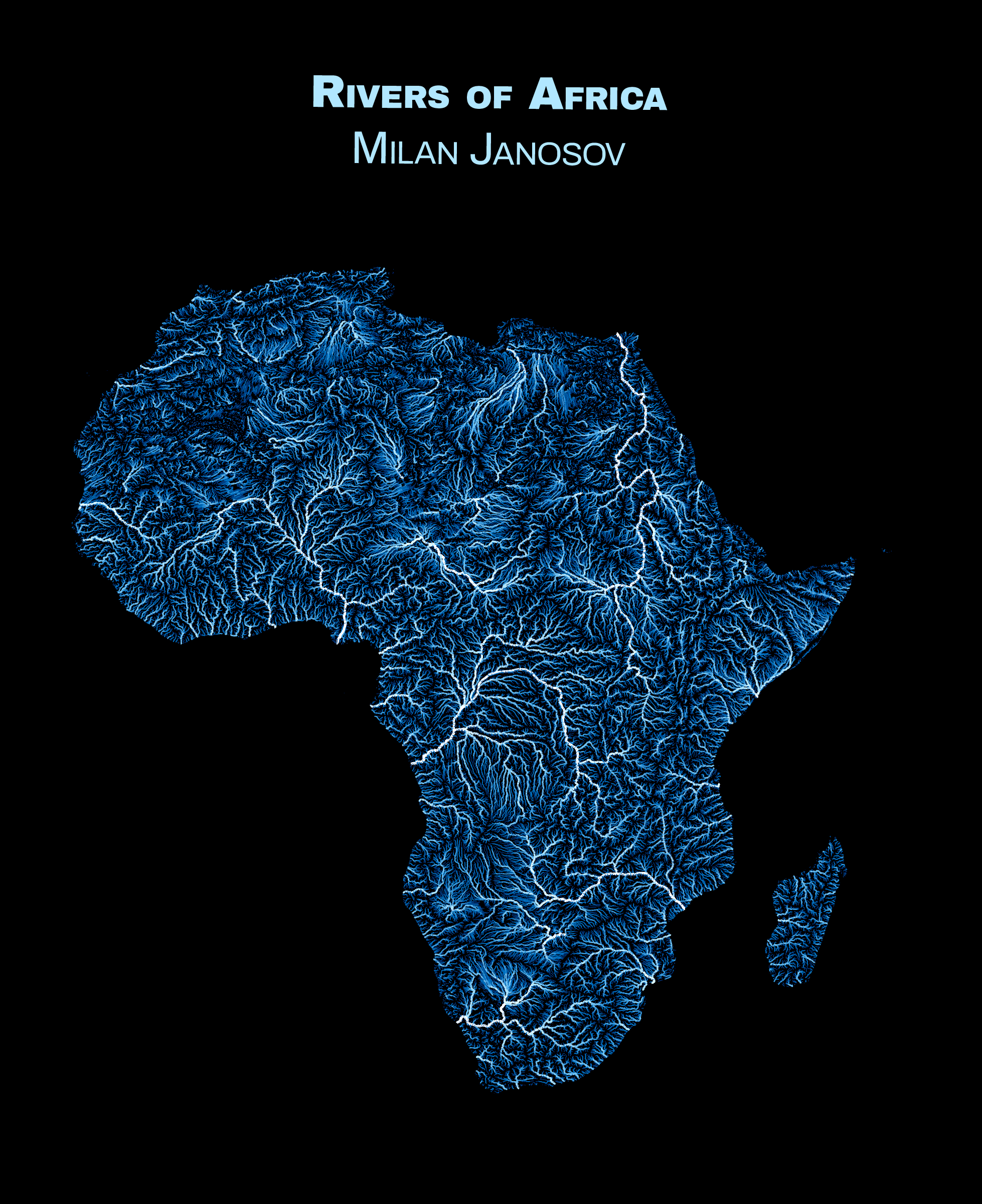
Here, I build on the dataset of African rivers published by the United Nations FAO. Their GIS file contains almost 200k line polygons belonging to rivers attributed with a couple of parameters, such as their major river basin or the Strahler stream order of each arc. I used the letter to set both the colour and width of each river; the higher the rank, the darker and thicker the river.
Data accessed: 2023 October 14