Visualizing Urban Spaces
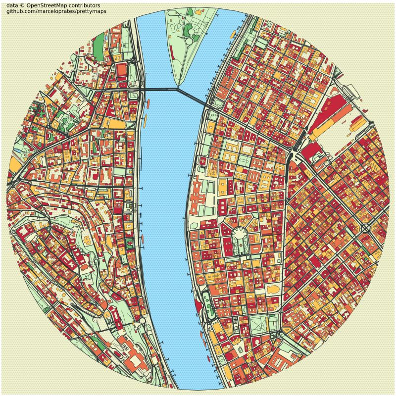
Exploring @PrettyMaps, the open-source Python-based data visualization tool that pulls data from OpenStreetMap and visualizes urban spaces like road networks and POIs in a unique, beautiful form. In these posts, I show a few iconic landmarks drawn up with this tool.