Courses
Geospatial Data Analytics Essential Training
Join my 40.000+ students today!
The amount of spatial data—information tagged to geographic coordinates—is vast, ranging from the GPS logs that mobile phones take to online maps and navigation apps and even going as far as the images recorded by satellites orbiting around Earth. This course aims to connect this widespread type of data to daily practice by giving a comprehensive overview of the geospatial data industry. Join instructor Milan Janosov for a practical, hands-on experience exploring, visualizing, and analyzing geospatial data using several Python-based data science tools.
Read moreGeospatial Raster Data Analytics in Pythons
Looking for a comprehensive overview of raster data analytics in Python? An ideal fit for data scientists and geospatial practitioners, this course is designed to help you get started using vector data and various tools in Python, such as GeoPandas and Shapely. Instructor Milan Janosov covers the basics, from creating synthetic raster data to collecting, visualizing, and modifying existing real-world raster data. Along the way, get hands-on practical experience exploring raster data both statistically and visually.
Read moreNetwork Analytics and Visualization in Python
Welcome to the world of network analytics and visualization in Python, where data connections turn into valuable insights! This course is your comprehensive guide to understanding and applying graph analytics and visualization techniques using Python. Whether you’re a data scientist eager to enhance your expertise or a tech-savvy learner looking for hands-on experience, this course takes you from the fundamentals to network analytics applications with step-by-step guidance.
Read moreNetwork Visualization - An Introduction
Welcome to the world of network science, where connections come to life! This course is your comprehensive guide to understanding and applying the principles of network science, graph analytics, and visualization. Whether you’re a data scientist looking to expand your expertise or a tech-savvy learner eager for hands-on experience, this course will take you from the basics to practical, real-world applications.
Read moreUrban Analytics with Python
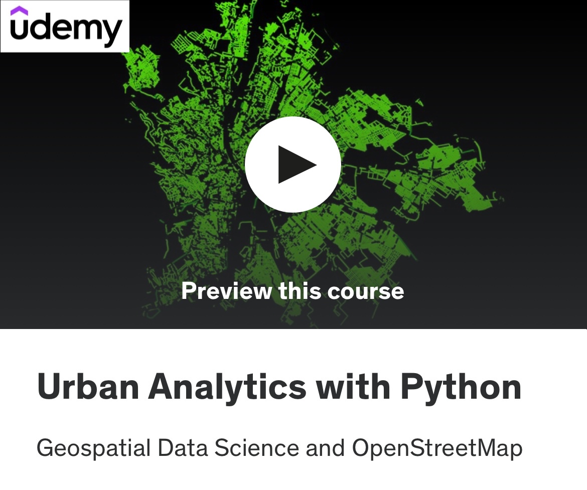
Welcome to “Urban Analytics with Python: Geospatial Data Science and OpenStreetMap”! In this course, you’ll dive deep into the world of urban data analysis with a hands-on Python coding approach. This isn’t just a theoretical overview – it’s a practical course where you’ll actively write code to manipulate, analyze, and visualize geospatial data from OpenStreetMap (OSM).
Read moreIntroduction to Python
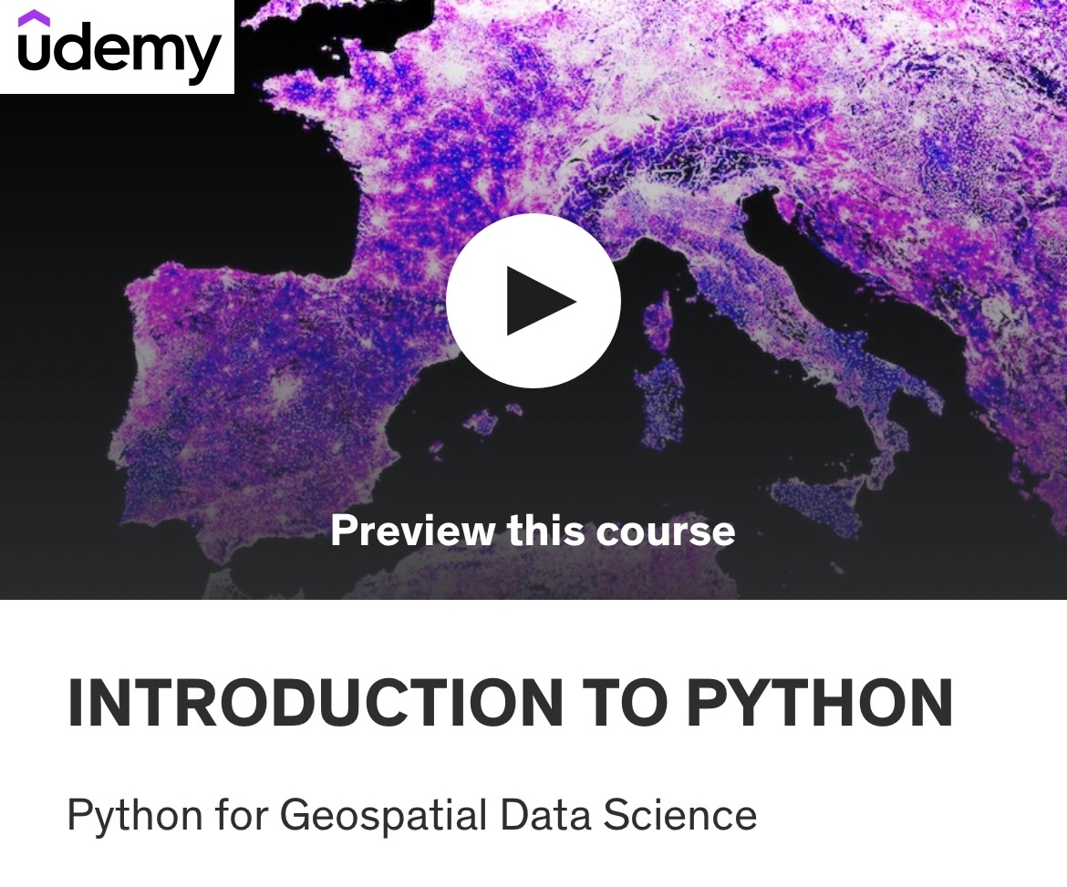
Are you eager to learn Python but overwhelmed by the endless hours of tutorials packed with excess information? After nearly a decade of hands-on experience in data science with Python, I’ve crafted my first introductory course to focus on what truly matters. This streamlined, no-nonsense course covers only the essentials useful on a daily basis, ensuring you gain practical, relevant knowledge without the fluff. It’s a solid foundation to jump-start your career in Python-based analytics and build on in the long run.
Read more